
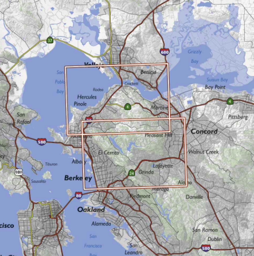
Bay Area Trail Map: Berkeley Hills and Carquinez Strait
This is the most comprehensive and useful hiking map of the East Bay. To produce it I’ve hiked every official trail in the East Bay, most of them multiple times. Unlike online maps generated from government or crowdsourced data, this map shows lesser-known trails, local roads, unofficial trails, and private roads, and it clearly distinguishes between official trails and private or unofficial trails. It replaces dozens of individual park maps with a single map that has a consistent scale and appearance, making it the best tool for planning hikes that span multiple parks.